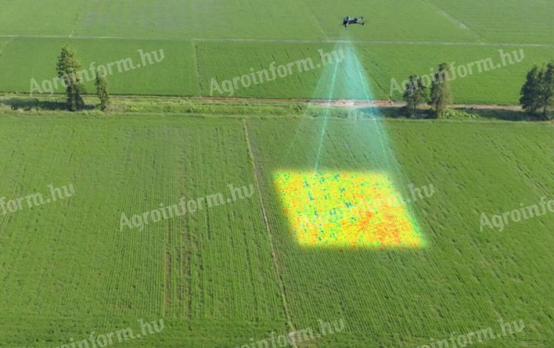
Drone multispectral monitoring - NDVI and other indices, differential/spot management plans
 Pest county, 2071 Páty
 4
4
| Price |
1.200 HUF +VAT |
| It meets the requirements of precision farming |
Yes (precision device, service, job) |
Description
Soil and plant condition monitoring by drone - indexes and application plans.
Drones equipped with a multispectral camera will allow us to continuously monitor the health of the entire crop population. They can also be used for plant vegetation analysis (e.g. NDVI) or even soil condition analysis. They can be used to detect pests or to detect diseases at an early stage when they can be treated. In addition to nutrient availability, water deficiencies or even water surpluses can be detected. The data collected can be used to create the optimum conditions for the plants, to estimate yields, to monitor ripening processes and to improve spraying and irrigation (zoning, differential application, spot treatment). They can also be used to carry out census and wildlife damage estimation.
Our company can also perform drone recording, data processing and documentation for our clients in almost the whole country. Possible indices: NDVI, GNDVI, BNDVI, LCI, VARI, TGI, SIPI2, NDRE, MCARI, OSAVI, satellite NDVI.
It is also possible to mark the property boundaries of an area with cm accuracy on high-resolution orthophotos taken by drone from land registry data, and to mark these boundaries and breakpoints accurately on site. We can also create boundary shape files for precision agricultural machinery.
Contact us for a quote! The price indicated in the advertisement is the basic multispectral survey and elaboration fee per hectare above 30 ha.
www.dronszolg.hu
info@dronszolg.hu
06 30 948 75 42
https://www.facebook.com/dronosszolgaltatasok
Identifier: 7451484
Updated: 28 January 2025 at 16:51:41 CET


