Az Agroinform Portál adatvédelmi szabályzatának Adatfeldolgozókra vonatkozó pontja az Adatfeldolgozók személye kapcsán módosult. A módosított dokumentum ITT érhető el.
We use geophysical methods to find out where to drill irrigation wells
BUDAPEST, 1101 Budapest (X. kerület)
Hungary
Sharing:
8
It meets the requirements of precision farming
Yes (precision device, service, job)
Description
Dear arable crop producers!
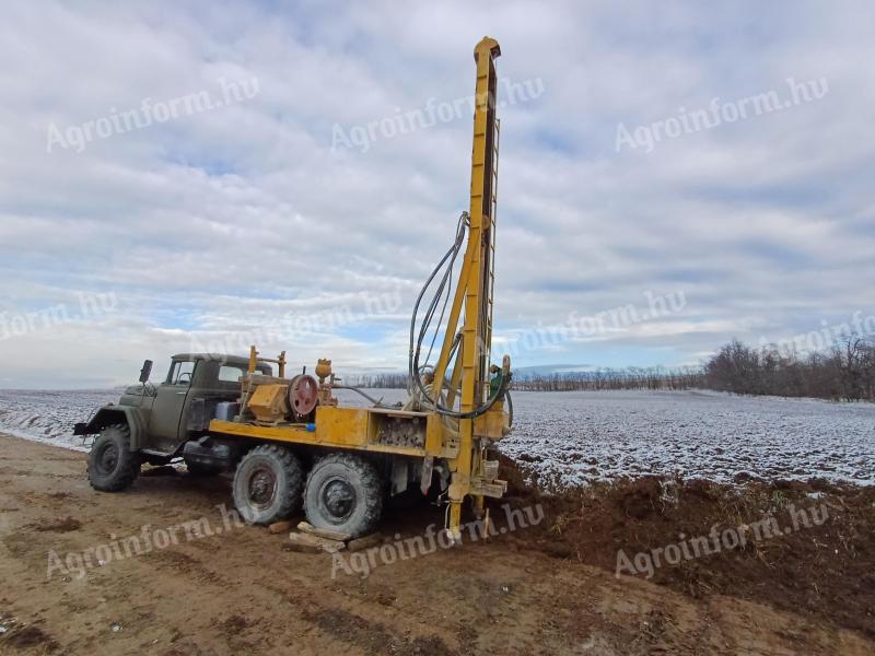
Imagine a well driller arrives and asks you where exactly you are drilling wells in this large area! You mark the places where it is least expensive to lay the pipelines. Then the first dry or very low-flow well is drilled. You select a new location and the experiment continues.
The team at GeoGold Carpathia Ltd. works to ensure that drilling is not just a trial and error, but that it results in the best producing well for the geology.
How do we work?
- We need to know the water requirements,
- analyse geological maps to know the coordinates of the target area,
- we look at the database of wells in the area around the target,
- provide a quotation,
- once the order has been placed, we start the precise planning of the water exploration,
- set out the survey traces,
- carry out measurements using various geophysical measurement methods,
- After the data have been processed, a report is prepared containing the coordinates of the most optimal drilling points.
But the location is not everything!
We take care of the water permit and the ongoing professional coordination with the authorities. We assist in the supervision of drilling and, through our subcontractors, the professional execution of the drilling(s) and well testing.
Contact us if you want production wells that meet the specific water needs of your farm in the long term, rather than trial and error!